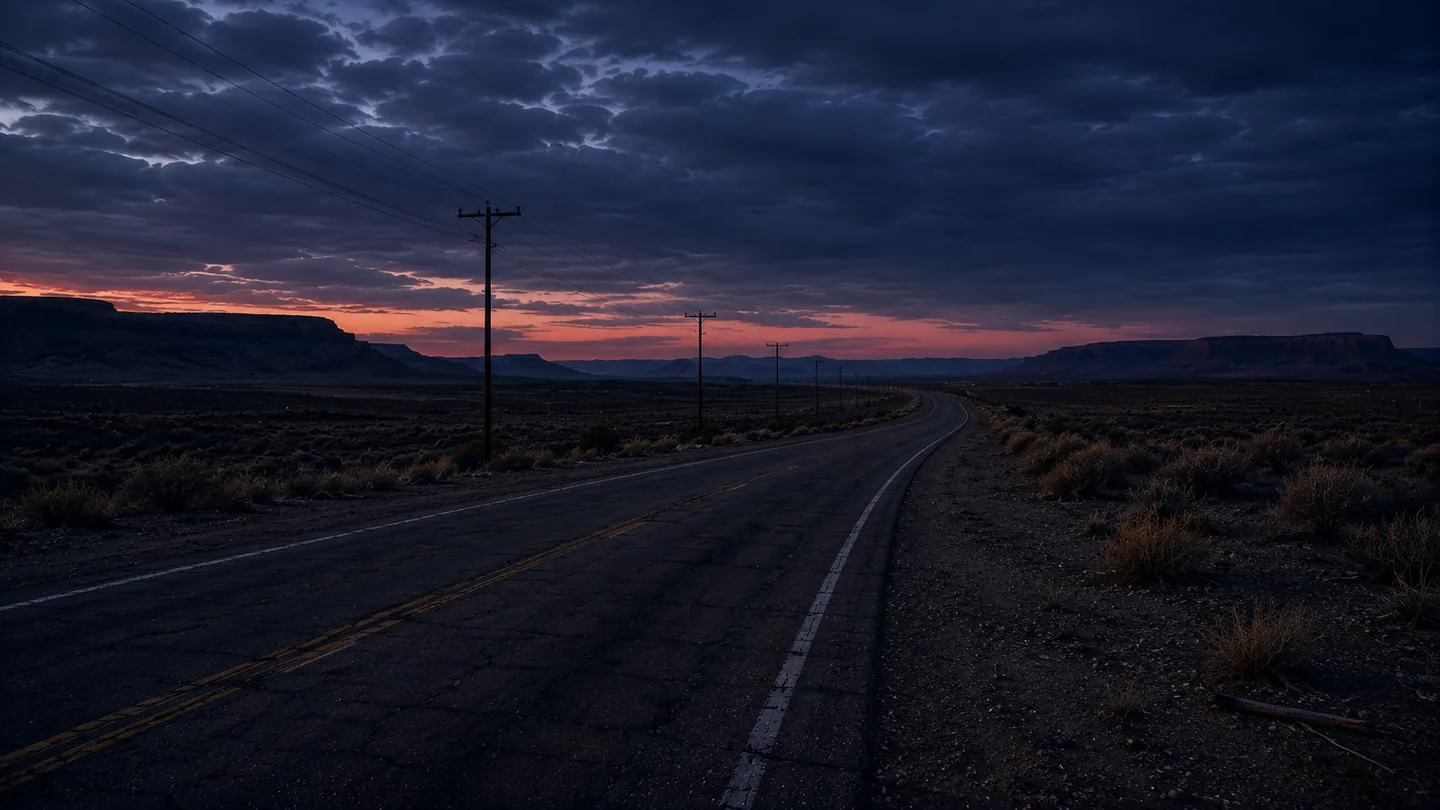
Route 17
The public road toward the city. It remains driveable while signs, mileage, and the order of familiar turns begin to disagree.
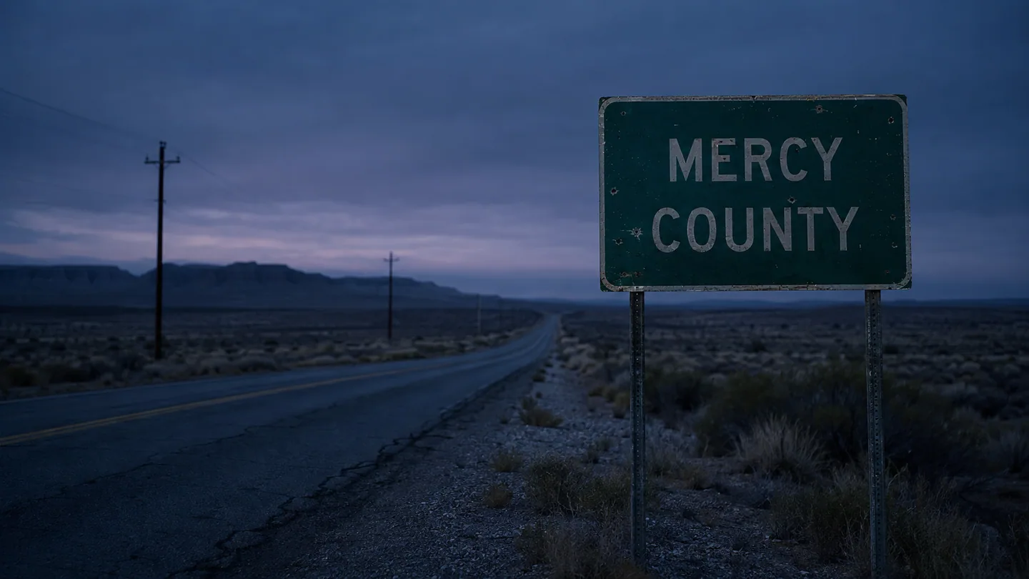
Mercy County
Route 17 has a few dependable landmarks. Learn their signs, silhouettes, and approach roads before the mileage, order, or direction changes.
Known places
Last Light has four pumps. Coyote Grill has a red arrow at Junction Four. Black Ridge has a broad gap in its silhouette. Mile Marker 62 carries only the number.
The public road toward the city. It remains driveable while signs, mileage, and the order of familiar turns begin to disagree.
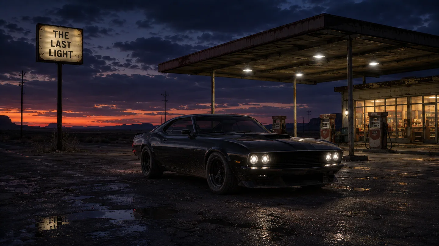
Four pumps, hot coffee, and the last dependable pool of light before the ridge. The run begins here.
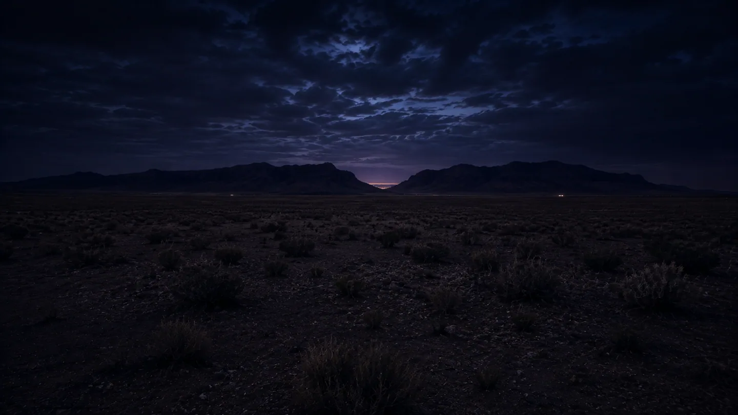
The most dependable silhouette in the County. Its position against the road and the distant city lights is less reliable.
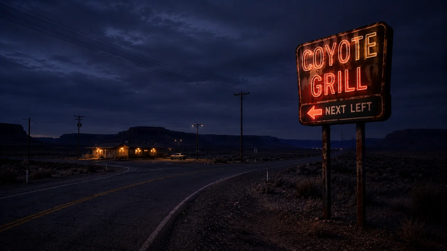
An all-night roadside grill and the only lit thing at Junction Four. Delivery records fill banker’s boxes in the service room.
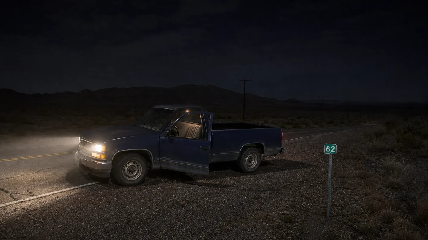
Daniel Mercer’s pickup was found here with the engine running, the driver door open, and nobody in the seat.
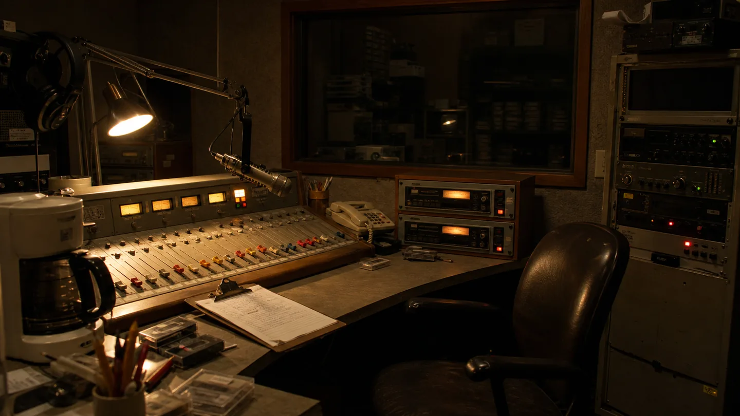
Local music, weather, road reports, public notices, and the occasional item that reaches the radio at the wrong time.
Public records
The Mercy County Archives hold public notices, photographs, road files, and missing-person records. The courthouse copy and the road copy do not always agree.